Related News
- 00
0000-00
Sustainable Harbor Engineering: Balancing Erosion Control and Habitat Protection - 00
0000-00
Which ISO Certifications Matter When Specifying Maritime Infrastructure? - 00
0000-00
Selecting Intermodal Yard Equipment for Fast, Safe Container Transfers - 00
0000-00
How to Select Harbor Structures for Quay Walls Under Berthing and Wave Loads - 00
0000-00
Selecting Smart Terminal Software for Multi-Site Field Service Operations
Sustainable Harbor Engineering: Balancing Erosion Control and Habitat Protection
A harbor can have a stable shoreline and still suffer from repeated channel shoaling, declining intertidal habitat, or erosion transferred to a neighboring stretch of coast. Effective sustainable harbor engineering solutions address these connected problems together. The starting point is to understand where sediment moves, what drives that movement, and which shoreline functions must be protected.
The practical answer is usually a combination of measures: structural protection where operational loads demand it, habitat-based stabilization where conditions support it, and dredging planned around sediment behavior and ecological sensitivity. Each element needs a clear purpose, measurable performance criteria, and a maintenance plan that fits harbor operations.
Identify the erosion mechanism before choosing protection
Erosion is a symptom, and similar-looking damage can have different causes. Wind waves may remove material from an exposed shoreline, while vessel wakes repeatedly disturb a sheltered bank. Propeller wash can scour the bed near berths. Tidal currents may concentrate around a structure, and poor drainage behind a retaining wall can contribute to instability from the landward side.
These distinctions change the solution. Planting vegetation will not resolve deep scour caused by vessel propulsion. Adding heavier rock may stabilize a bank but leave the underlying drainage problem untouched. A new barrier might reduce local wave exposure while changing currents enough to increase erosion elsewhere.
Build the initial assessment around bathymetric and shoreline surveys, sediment characteristics, ground conditions, water levels, waves, currents, and vessel activity. Include habitat mapping and seasonal ecological use, so the engineering team can see where construction or altered sediment movement would affect sensitive areas.
Historical surveys help distinguish persistent trends from isolated storm damage. Where evidence remains incomplete, targeted measurements should resolve the uncertainty that could change the design: for example, whether bank retreat follows vessel movements or storm events. Modeling becomes useful when proposed works could alter circulation, wave penetration, or sediment transport beyond the immediate footprint.
The assessment should produce a shared map of operational constraints, erosion drivers, habitat sensitivity, and sediment pathways. That map provides a defensible basis for dividing the harbor into treatment zones.
Match shoreline treatments to exposure and operational use
A uniform shoreline design is rarely appropriate across an entire harbor. An active berth, a sheltered inlet, and an exposed approach shoreline face different loads and need different forms of protection. Selecting treatments by zone creates room for habitat protection without compromising essential infrastructure.
Living shorelines need suitable physical conditions
Living shorelines use vegetation and other natural features to stabilize sediment and maintain ecological functions. Depending on the setting, they may include marsh planting, suitable native shellfish habitat, or gently graded banks. They are most promising where exposure is manageable, there is space for an appropriate slope, and the substrate and inundation pattern support the intended habitat.
Vegetation can slow nearshore water movement and help retain sediment, but it needs time to establish. Its performance depends on elevation, salinity, sediment supply, and disturbance. A planting scheme placed at the wrong tidal level can fail even when the selected species is locally appropriate.
Space is another constraint. A shoreline squeezed between deep water and fixed infrastructure may lack room for habitat development or landward migration as water levels rise. Living shorelines also need protection from anchoring, vessel wash, and maintenance activities that could repeatedly disturb them.
Hybrid protection can accommodate greater exposure
A hybrid shoreline combines structural elements with habitat features. A low rock sill, for example, may reduce wave energy enough for vegetation to establish behind it. This can suit locations where an unprotected planting scheme would be vulnerable but continuous hard armoring would unnecessarily remove intertidal habitat.
The structural component requires careful design. Sill height, openings, and alignment influence water exchange, sediment deposition, and access for aquatic organisms. Excessive shelter or restricted exchange can alter water quality and habitat conditions. Openings can also concentrate currents and create local scour, so they need evaluation alongside the protected area.
The design must account for establishment as well as mature conditions. Temporary protection, staged construction, and a planting window may determine whether the ecological component survives its first demanding season.
Hard protection remains appropriate around critical assets
Quay walls, revetments, and other engineered structures may be necessary where berthing forces, deep water, severe exposure, or limited space govern the design. Their environmental performance depends partly on footprint, alignment, toe protection, and effects on adjacent sediment movement.
Habitat features can sometimes improve these structures. Textured surfaces, crevices, or suitable ledges may provide opportunities for colonization where material durability and structural safety allow. However, these additions do not replace the ecological functions of a removed marsh or mudflat. Habitat retention should therefore influence layout decisions before surface enhancements are considered.
Treat dredging and sediment reuse as one planning problem
Navigation dredging can affect erosion control and habitat protection through excavation, suspended sediment, changed bed levels, and material placement. A dredging plan should explain both why sediment is accumulating and what will happen to the excavated material.
Repeated shoaling may result from sediment entering the harbor, redistributing within it, or moving around a structure. Removing deposits restores depth, but does not necessarily address the process that created them. Changes to channel geometry, training structures, or sediment management may help in some settings; they also require assessment for effects on nearby habitats and shorelines.
Beneficial sediment reuse begins with material suitability. Grain size, contamination, salinity, and handling characteristics determine whether dredged material can support shoreline nourishment, habitat creation, or another useful application. Material acceptable for one destination may be unsuitable for another.
Clean sand may fit a compatible nourishment site, while finer sediment may be useful for certain wetland restoration designs. Both require assessment of placement elevation, settlement, erosion resistance, and ecological response. Covering an existing habitat with otherwise suitable material can still cause damage if the thickness or timing is inappropriate.
Link the dredging and receiving-site designs early. Otherwise, a restoration concept may depend on sediment that is unavailable when needed, or a dredging contract may proceed before the receiving site is ready. Temporary storage, transport distance, dewatering, and placement access can strongly influence feasibility, cost, and emissions.
Select equipment and construction methods around the habitat risk
No dredging method is environmentally preferable in every harbor. Mechanical and hydraulic systems differ in excavation control, sediment handling, water use, and transport requirements. Their suitability depends on material characteristics, access, the destination of dredged sediment, and the sensitivity of nearby receptors.
Mechanical dredging can suit confined work areas and material that needs controlled handling, but losses during lifting and transfer remain relevant. Hydraulic dredging can support pumping to a reuse site, although the receiving area must manage the transported water and sediment. Equipment configuration, operator practices, and production rate affect outcomes alongside the method itself.
For PS-Nexus readers assessing dredging engineering equipment, this connection between machinery and site conditions is especially useful: pump monitoring, positioning systems, and excavation control should be evaluated by how they support the project’s environmental and navigation requirements.
Construction access also deserves attention. Temporary haul routes, barge anchoring, stockpiles, and work platforms can damage habitat outside the permanent works. Define these footprints during design and contracting, with clear provisions for removal or restoration.
Seasonal scheduling should reflect the species and ecological processes present. Fish migration, spawning, nesting, or vegetation establishment may create different timing constraints. Combine those requirements with weather exposure, vessel access, and navigation restrictions before committing to the construction sequence.
Make environmental monitoring capable of changing the work
A monitoring program adds value when its results trigger a practical response. Collecting data without agreed actions leaves the construction team uncertain when conditions deteriorate.
Choose indicators that connect directly to credible risks. Near sensitive vegetation, suspended sediment and light availability may matter. Around dredging or placement areas, deposition and bed-level change may be more informative. Structural monitoring may focus on scour, settlement, or displacement. Habitat monitoring should track establishment and condition as well as the area installed.
Turbidity requires careful interpretation. It measures water cloudiness, and its relationship to suspended sediment depends on local particles and conditions. Background readings help distinguish construction effects from tides, runoff, and vessel activity. Monitoring locations should capture the pathway between the work and the habitat at risk.
Define response thresholds during design and environmental planning, based on site conditions and applicable project requirements. The construction plan should identify:
- Who reviews monitoring results and has authority to change the work.
- Which readings require inspection, reduced production, modified methods, or suspension.
- What conditions allow work to resume.
- How decisions and corrective actions are recorded.
Silt curtains may help contain suspended material in suitable sheltered conditions, but strong currents, waves, deep water, or navigation demands can limit their effectiveness. They should be assessed as part of the method rather than assumed to provide universal containment.
Compare lifecycle performance before accepting the lowest bid
A lower construction price can lead to higher costs if a scheme requires frequent repair, repeated planting, or additional maintenance dredging. Compare alternatives over a common planning period, including inspection, monitoring, replacement, access, and likely operational disruption.
Keep structural and ecological performance criteria distinct. Shoreline stability, channel depth, and acceptable scour describe engineering outcomes. Vegetation survival, habitat condition, and water exchange describe ecological outcomes. A scheme can meet one group while underperforming against the other, so both need acceptance criteria and assigned ownership.
Carbon considerations should include material production, transport, construction energy, maintenance, and replacement. Sediment reuse may reduce disposal and imported material needs, but long transport distances or intensive processing can weaken that benefit. Likewise, electrified equipment offers advantages only where power supply, duty cycles, and site arrangements support practical operation.
Allow for changing water levels and exposure through the asset’s life. Habitat may need room to migrate, while structures may need provision for modification. Adaptability can be more useful than committing the whole shoreline to one fixed treatment.
Move from concept to a coordinated delivery plan
Before tendering, reconcile the shoreline design, dredging scope, sediment destination, construction access, and environmental controls. These elements often cross separate contracts, making interface responsibilities easy to overlook.
For each treatment zone, document the erosion mechanism, required operational function, habitat objective, chosen intervention, and maintenance trigger. Identify uncertainties that could materially change the solution and resolve them through investigation or a limited pilot where appropriate. A pilot is useful when it tests a specific issue, such as sediment retention or planting establishment.
Assign responsibility for the interfaces explicitly: receiving-site readiness, material acceptance, monitoring decisions, temporary habitat protection, and post-construction maintenance. Carry those responsibilities into specifications and handover requirements.
The next useful step is a joint review of the harbor’s treatment-zone map by structural, geotechnical, dredging, ecological, and operations teams. Each proposed intervention should answer three questions: what process it controls, what habitat function it protects, and what observation would prompt a change. Clear answers turn sustainability goals into a harbor scheme that can be built, operated, and maintained.
Related News
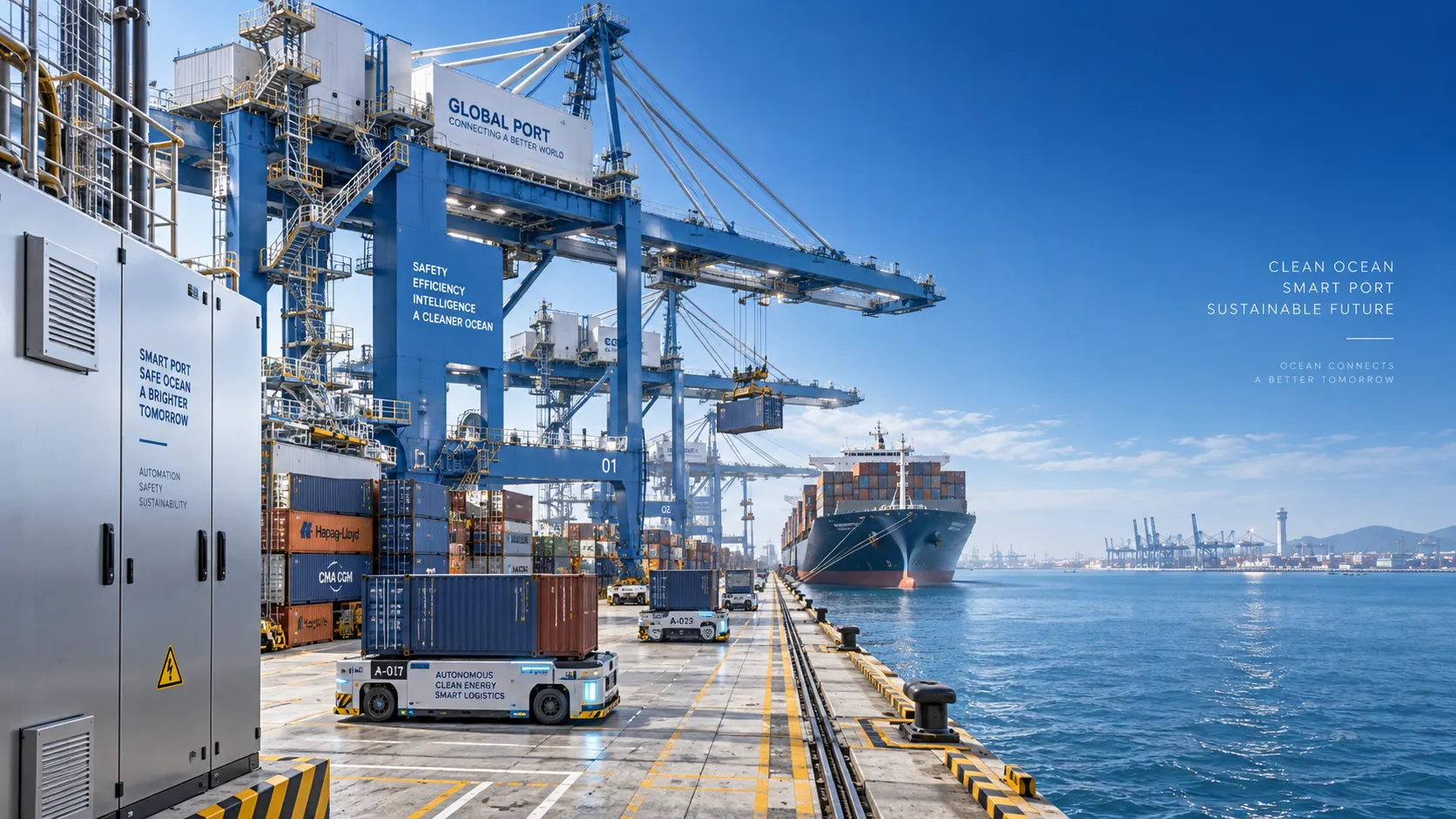
Which ISO Certifications Matter When Specifying Maritime Infrastructure?
Maritime infrastructure ISO certified suppliers: discover which certifications matter, how to assess scope, and what project evidence protects port performance.
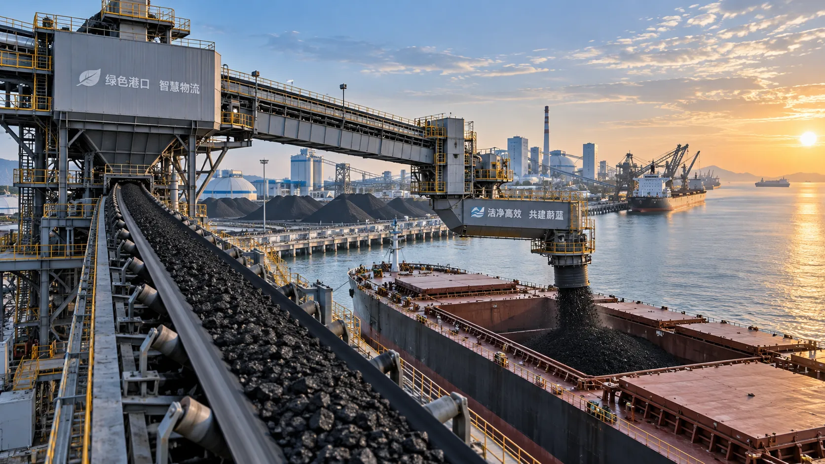
How to Evaluate a Bulk Handling Equipment Exporter for Port and Plant Projects
Bulk handling equipment exporter evaluation guide for port and plant projects—compare engineering, references, delivery reliability, and lifecycle support.

How to Evaluate a Yard Mobility Solutions Manufacturer for High-Throughput Sites
Yard mobility solutions manufacturer evaluation guide for high-throughput terminals: assess performance, integration, service, lifecycle costs, and delivery risk.
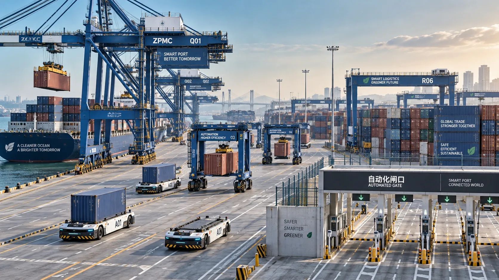
Automated Port Systems in Latin America: Investment Priorities for Container Terminals
Automated port systems Latin America: discover investment priorities for container terminals, from smart gates and remote cranes to resilient digital control layers.
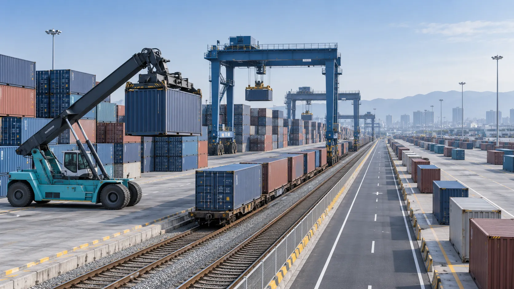
Selecting Intermodal Yard Equipment for Fast, Safe Container Transfers
Container handling equipment for intermodal yards: compare reach stackers, RTGs, automation, safety planning, and lifecycle costs to build faster, safer container flow.

Terminal Control System Costs: Budgeting Hardware, Integration, and Lifecycle Support
Terminal control systems cost explained: budget hardware, integration, safety, cybersecurity, commissioning, and lifecycle support for resilient terminal operations.
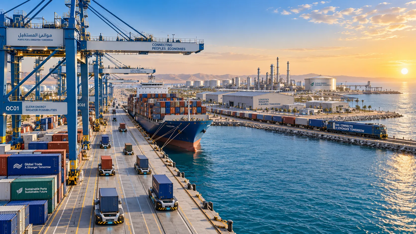
Smart Operations in the Middle East: Where Industrial Investment Is Growing
Smart operations Middle East investment is reshaping ports, industrial corridors, and logistics networks through connected data, automation, resilience, and smarter asset performance.
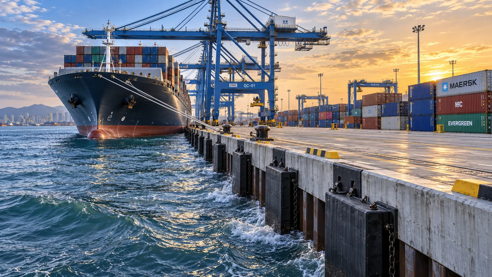
How to Select Harbor Structures for Quay Walls Under Berthing and Wave Loads
Harbor structure for quay wall selection: evaluate berthing energy, wave loads, soil conditions, durability, and lifecycle risk to build safer, adaptable terminals.
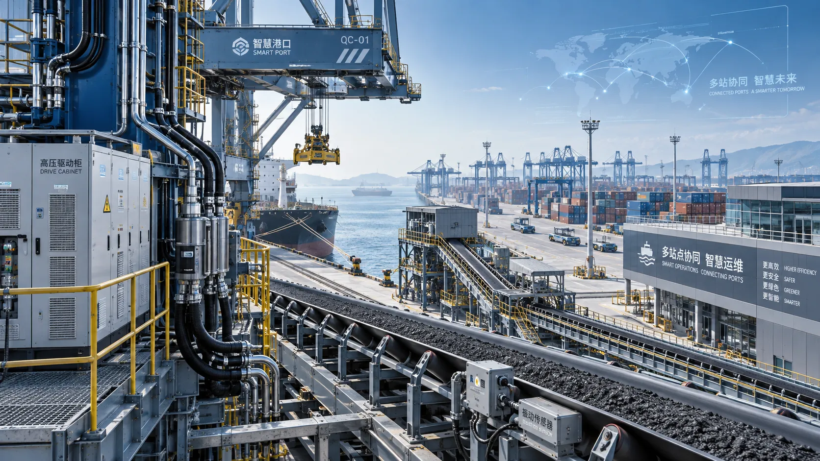
Selecting Smart Terminal Software for Multi-Site Field Service Operations
Smart terminal solutions software helps multi-site field service teams unify asset history, mobile maintenance, integrations, and reporting for safer, faster terminal operations.