Related News
- 00
0000-00
How to Specify a Quay Crane for Container Terminals by Vessel Size and Throughput? - 00
0000-00
Which Bulk Handling Equipment Suits High-Moisture Cargo? - 00
0000-00
Terminal Automation Technologies That Raise Container Throughput Without Yard Disruption - 00
0000-00
Planning Offshore Dredging Operations: Key Risks, Methods, and Project Controls - 00
0000-00
Where Do Automated Guided Vehicles Deliver the Fastest Warehouse Gains in the Middle East?
Planning Offshore Dredging Operations: Key Risks, Methods, and Project Controls
Planning Offshore Dredging Operations: Key Risks, Methods, and Project Controls
Planning offshore dredging operations requires more than selecting a vessel, setting a target depth, and calculating an excavation volume. A workable plan must reconcile seabed conditions, vessel access, weather exposure, disposal or beneficial-use routes, environmental commitments, and the commercial consequences of lost production time. These constraints often interact: a change in material classification may alter the dredger selection, which can affect the offshore cycle time, fuel plan, permit conditions, and achievable completion date.
For project managers, the central challenge is not simply to estimate how much material will be removed. It is to build a delivery model that remains credible when conditions offshore differ from the desk-study assumptions. The best plans make uncertainty visible early, assign ownership for decisions, and establish controls that allow the team to respond without losing sight of safety, compliance, or the required nautical depth.
Start With the Ground Model, Not the Equipment List
Dredging productivity is governed by the material at the cutter head, draghead, grab, or suction intake—not by the volume stated in a preliminary scope. A seabed described broadly as “sand” may contain dense layers, shells, boulders, clay lenses, construction debris, or material affected by previous maintenance campaigns. Each can change production rates, wear patterns, overflow behavior, and the suitability of the intended plant.
A planning-grade ground model normally combines bathymetry, geophysical survey data, boreholes or vibrocores where appropriate, laboratory results, historical dredging records, and information from nearby marine works. The aim is not to eliminate uncertainty; offshore geology rarely allows that. The aim is to identify the uncertainties that can materially change method, duration, disposal eligibility, or plant configuration.
The model should also distinguish between in-situ volume, dredged volume, and the volume ultimately transported or placed. Bulking, water content, density, and allowable overdepth can make these figures substantially different. If commercial assumptions are built around only one volume definition, disputes over progress measurement become more likely later.
Questions worth resolving before mobilization
- What material types are expected by dredging zone and depth band?
- Are there known obstructions, buried utilities, wrecks, unexploded ordnance concerns, or protected assets?
- Which survey datum, design surface, side slopes, tolerances, and overdepth rules govern acceptance?
- Is the material suitable for offshore disposal, confined placement, reclamation, beach nourishment, or another beneficial-use route?
- What evidence will be used to prove that the required depth and footprint have been achieved?
These questions should not be left to the contractor’s mobilization team alone. They influence permits, tender assumptions, marine traffic arrangements, and contingency allowance. A ground model that is shared across engineering, environmental, commercial, and marine operations functions is more useful than a detailed report sitting outside the project controls process.
Match the Dredging Method to the Material and Logistics Chain
There is no universally superior dredger. The right method depends on material behavior, excavation geometry, water depth, distance to the placement site, sea state, access restrictions, required accuracy, and whether the material has value beyond removal. Equipment selection should therefore be treated as a system decision: excavation, transport, discharge, monitoring, support vessels, and maintenance all need to work together.
A hopper dredger may offer an efficient transport cycle when offshore placement is feasible, but its performance can be constrained by swell, traffic separation requirements, or long sailing distances. A cutter suction dredger can provide a continuous flow to a reclamation area, yet the project becomes dependent on pipeline routing, booster reliability, and a stable discharge site. Mechanical methods can be precise and versatile around infrastructure, although the barge cycle and handling of wet material may become the limiting factor.
Hybrid plans are common in complex work. For example, a mechanical spread may clear obstructions and treat localized hard material before a production dredger handles the bulk quantity. This approach can reduce disruption, but only if the interfaces are planned explicitly. Otherwise, one contractor’s unfinished area can keep the next spread idle.
The Risks That Usually Move the Schedule
Weather is the most visible offshore risk, but it is not the only one that affects the critical path. Project teams should define workable weather limits for each activity rather than rely on a generic “weather day” allowance. Transit, dredging, barge exchange, survey, pipeline handling, diving support, and placement may each have different limits for wind, waves, current, visibility, and tidal window.
The useful planning question is not whether rough weather can occur. It is whether the selected vessel, work sequence, and contractual schedule can absorb realistic downtime without encouraging unsafe decisions. Historical metocean information can inform this assessment, but the relevant exposure depends on season, location, vessel characteristics, and the activity being performed. It should be reviewed with the marine contractor rather than applied as a generic percentage.
Environmental risk has a similar operational dimension. Permit conditions may govern seasonal work windows, turbidity monitoring, overflow, disposal boundaries, protected habitat setbacks, fisheries coordination, or the response required when monitoring thresholds are approached. These requirements affect production planning. They should be translated into vessel instructions, monitoring responsibilities, stop-work authority, reporting routes, and recovery logic—not left as broad commitments in an environmental management document.
Marine traffic deserves equal attention. Offshore dredging can share water with commercial shipping, fishing vessels, service craft, cable operations, and construction traffic. A well-designed traffic management plan considers notice periods, communication channels, exclusion zones, pilotage implications, safe crossing arrangements, and who has authority to alter the dredger’s working pattern. Where port access is involved, dredging windows must be coordinated with berth use and channel availability; a technically productive vessel is of little use if it repeatedly yields to traffic without a defined operating strategy.
Build Project Controls Around Decisions, Not Just Reporting
Many dredging projects produce detailed daily reports but still struggle to forecast completion. The problem is usually not a lack of information. It is that production data, survey results, weather downtime, plant availability, and permit constraints are recorded separately and never converted into a common decision view.
A practical control system begins with a baseline that links quantities to zones, expected material, plant cycle, survey milestones, and acceptance criteria. Progress should then be measured against the agreed design surface and volume methodology, with a clear distinction between dredged, transported, placed, and accepted quantities. Reconciliation is especially important where material is pumped to reclamation or moved by barge, because excavation progress does not automatically confirm final placement performance.
Daily production reporting should explain deviations rather than merely list them. A useful report identifies the hours lost, the immediate cause, the affected workfront, the recovery action, and whether the event changes the forecast. This creates a discipline around emerging issues. A recurring pump interruption, draghead wear problem, survey backlog, or delayed disposal clearance should be visible as a trend before it becomes a schedule claim.
Controls that deserve early agreement
- A single survey and volume-calculation protocol, including datum control and the treatment of tolerance areas.
- A responsibility matrix for navigational safety, environmental monitoring, vessel maintenance, and client approvals.
- Defined hold points for obstruction discovery, unexpected material, exceedance events, and material-routing changes.
- A look-ahead schedule that includes surveys, traffic constraints, permit windows, fuel and crew logistics, not only dredging hours.
- A change-control process that records the technical and commercial effect of revised limits, quantities, or disposal arrangements.
Digital monitoring can make these controls more reliable when it is used with purpose. Positioning data, dredge depth, pump performance, load history, weather observations, and maintenance alarms can help a project team detect losses in real time. However, dashboards do not replace interpretation. A falling production trend may be caused by harder material, incorrect operating settings, vessel downtime, longer transport cycles, or a deliberate environmental restriction. The project needs people who can connect the signal to the operational context.
Plan Mobilization and Interfaces as Carefully as Production
Mobilization is often treated as a preliminary task, yet it can determine the credibility of the entire programme. Vessel availability, crewing, bunkering, spares, anchor handling, survey equipment, pipeline components, tug support, waste handling, and shore-base access all require confirmation. For remote offshore locations, the reliability of the supply chain may matter as much as the nominal production capacity of the dredger.
Interfaces multiply quickly where dredging sits alongside quay construction, offshore structures, cable work, reclamation, or terminal commissioning. A shared interface register should show physical conflicts, access constraints, information dependencies, and decision dates. It is not enough to state that work will be “coordinated.” The team needs to know which party releases an area, who confirms it is safe to enter, what survey evidence is required, and what happens if the handover date moves.
This is also where port and logistics intelligence becomes relevant. Offshore works can affect channel availability, vessel calls, bulk cargo movements, and terminal expansion sequencing. PS-Nexus examines dredging engineering alongside terminal equipment, automated handling systems, and coastal economics because these assets operate as one maritime network. A dredging decision may look local on a chart, but its consequences can extend to berth access, cargo throughput, maintenance planning, and wider supply-chain timing.
A More Defensible Basis for Delivery
Reliable offshore dredging operations are planned from evidence, operational limits, and explicit decision paths. The project team should know what material it expects to encounter, why the selected method fits the full excavation-to-placement chain, how progress will be accepted, and which events trigger a change in plan. Where information remains uncertain, the uncertainty should be priced, scheduled, monitored, and assigned—not hidden behind an optimistic average production rate.
Before committing to mobilization, review the ground model, metocean exposure, permit conditions, disposal route, vessel cycle assumptions, survey protocol, and interface register together. That integrated review is often the point at which avoidable gaps become visible. For teams managing long-cycle marine infrastructure, intelligence on dredger performance, digital pump monitoring, port access, and evolving logistics conditions can support those decisions well before offshore work begins.
Related News
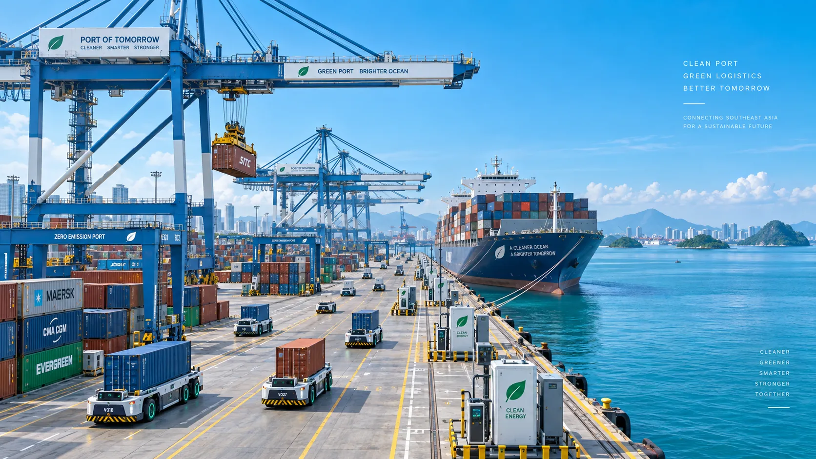
Smart Port Systems in Southeast Asia: Investment Priorities and Adoption Barriers
Smart port systems Southeast Asia: discover investment priorities, adoption barriers, and practical steps to build resilient, connected, high-performing terminals.
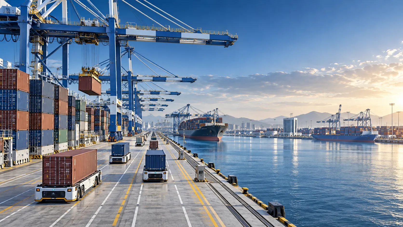
How to Evaluate Terminal Efficiency Solution Suppliers for High-Throughput Operations
Choose a terminal efficiency solutions supplier with confidence. Explore proven criteria for throughput, integration, lifecycle cost, safety, and reliable delivery.
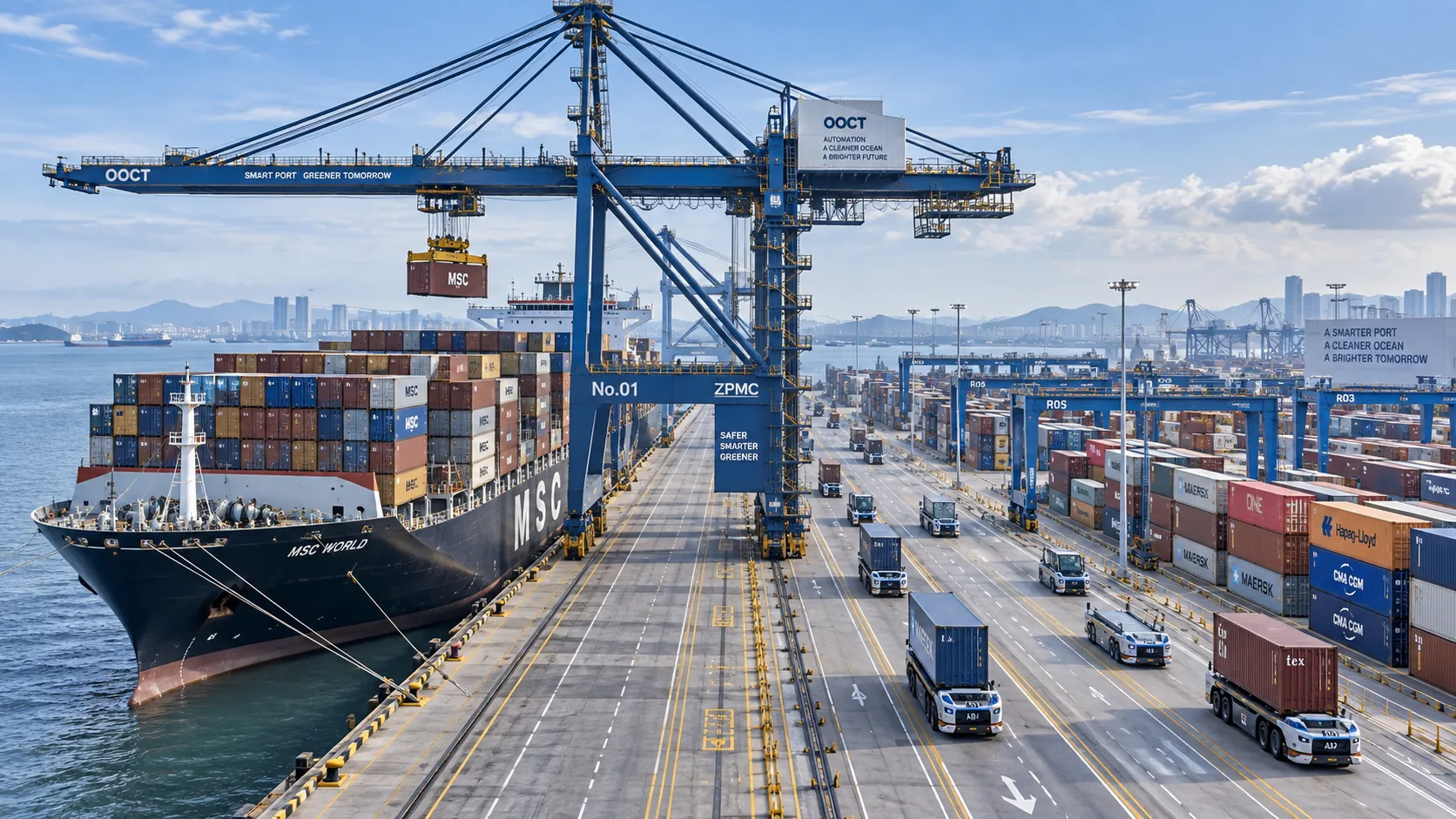
How to Specify a Quay Crane for Container Terminals by Vessel Size and Throughput?
Quay crane for container terminals: learn how to match outreach, lift height, capacity, automation, and cycle performance to vessel size and throughput goals.
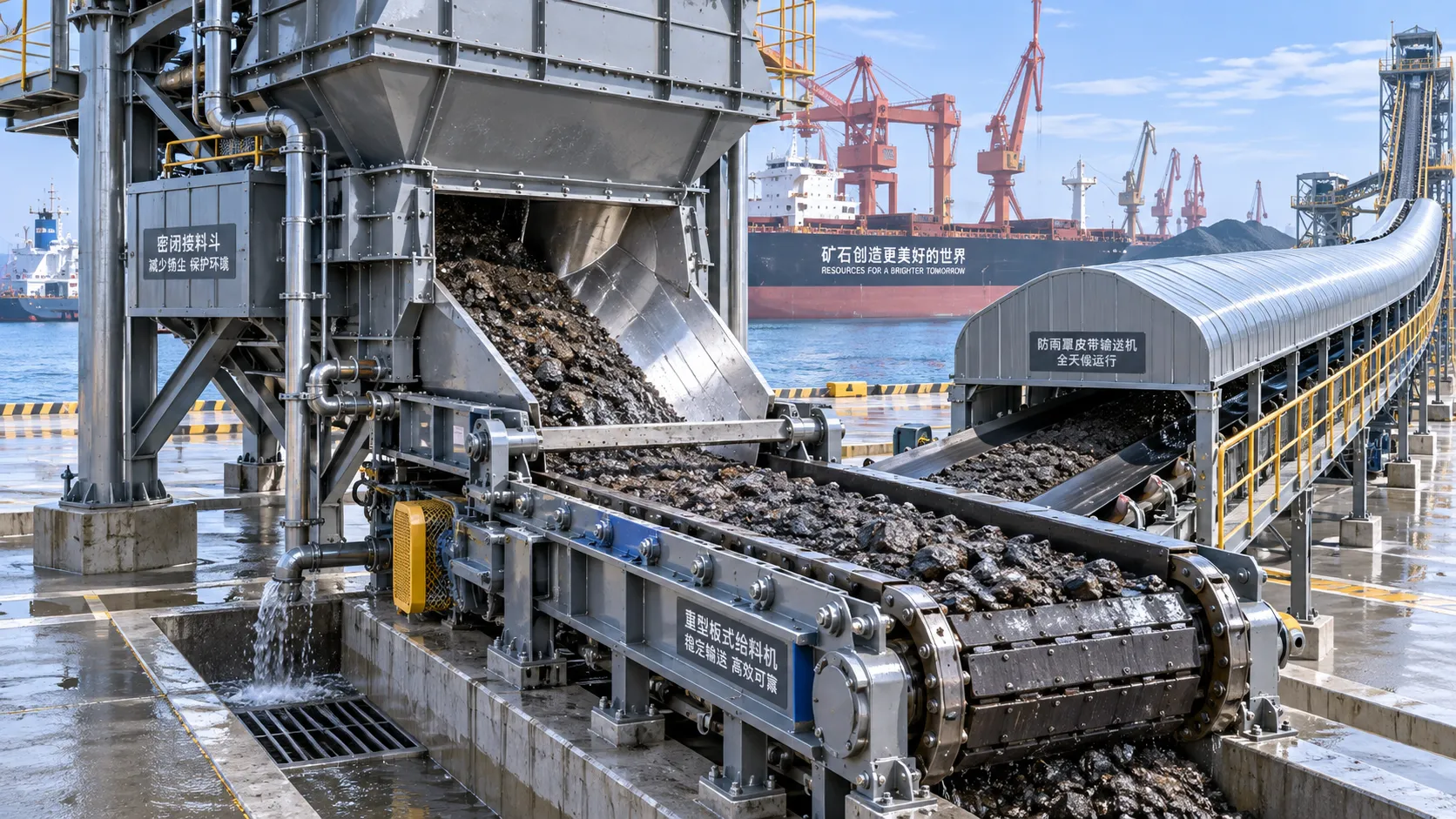
Which Bulk Handling Equipment Suits High-Moisture Cargo?
Which bulk handling equipment suits high-moisture cargo? Compare belt, apron, screw, drag, and slurry systems for reliable flow, less carryback, and higher terminal uptime.
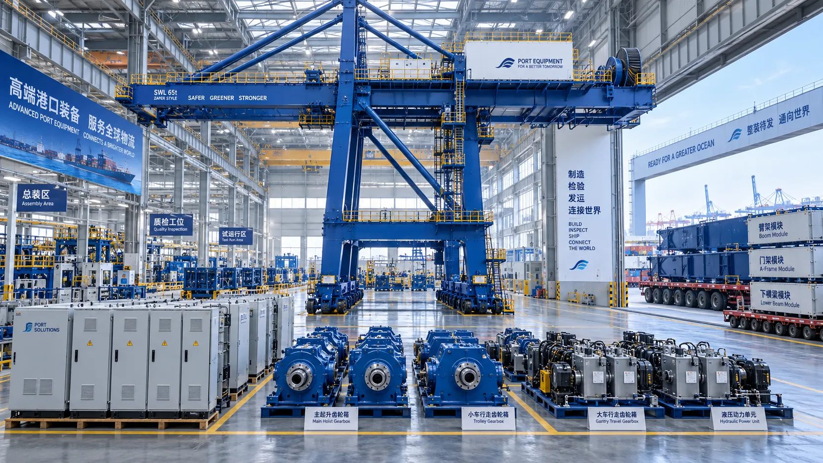
How Can Port Equipment Lead-Time Risk Be Managed?
How can port equipment lead-time risk be managed? Explore practical strategies to control critical paths, suppliers, transport, site readiness, and commissioning delays.
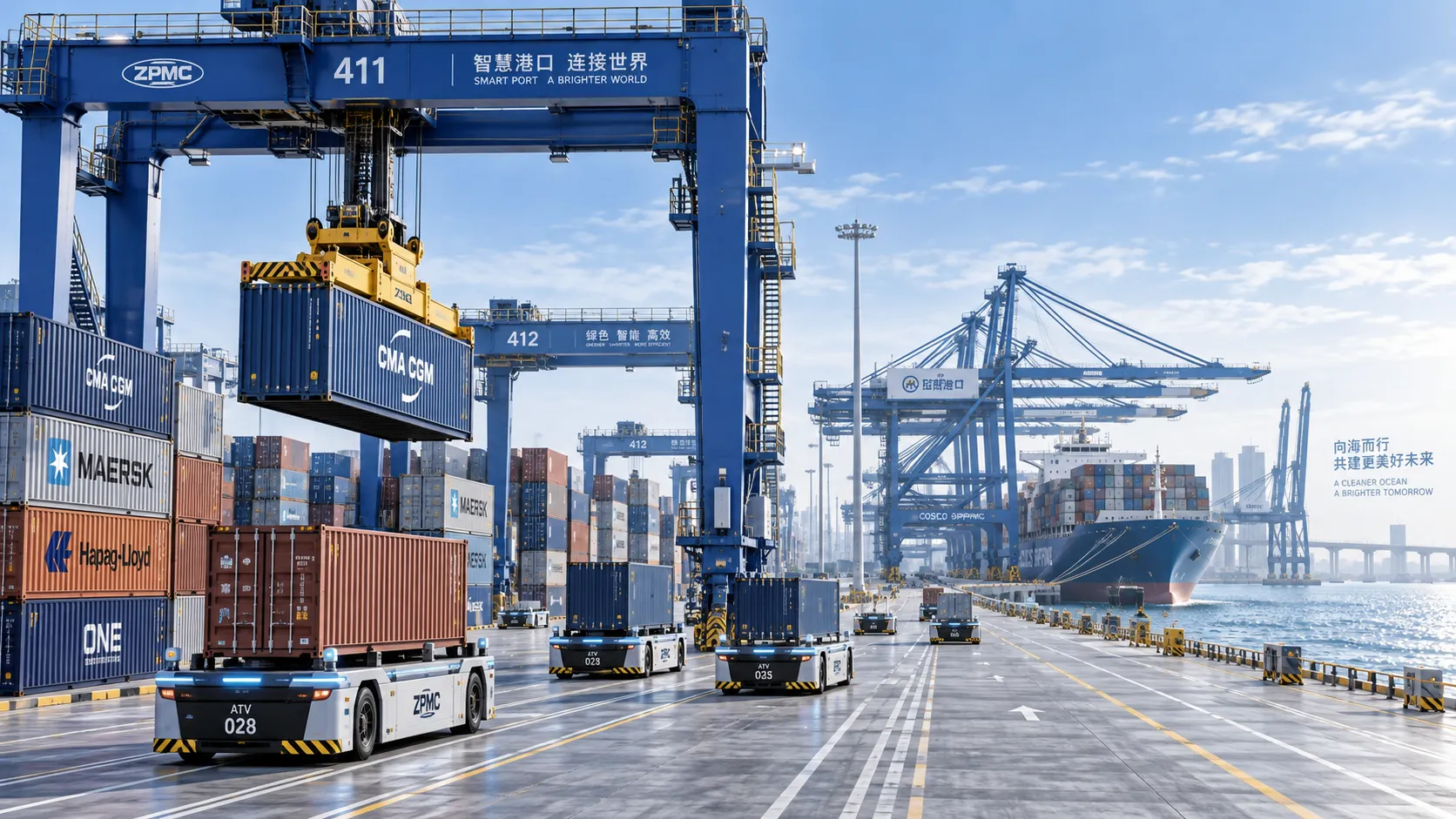
Terminal Automation Technologies That Raise Container Throughput Without Yard Disruption
Terminal automation technology that increases container throughput without disrupting yard flow. Explore smarter integration, resilient workflows, and phased deployment strategies.
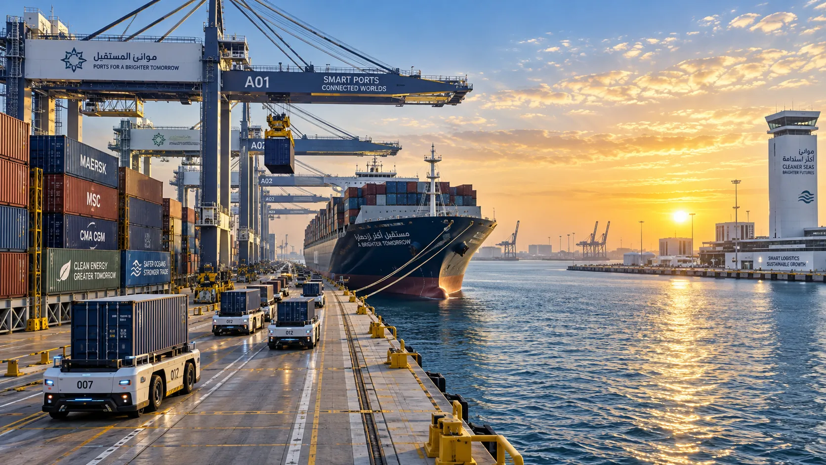
Middle East Port Automation: Key Market Drivers, Projects, and Investment Risks
Port automation systems Middle East: explore market drivers, flagship projects, integration challenges, and investment risks shaping smarter, resilient terminals.
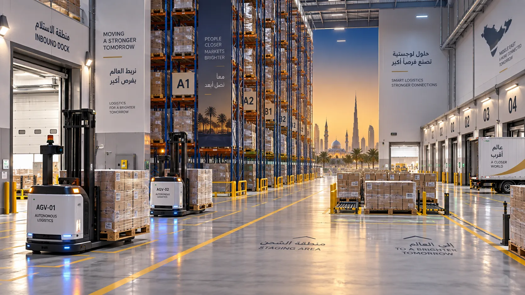
Where Do Automated Guided Vehicles Deliver the Fastest Warehouse Gains in the Middle East?
Automated guided vehicles Middle East: discover where AGVs deliver the fastest warehouse gains, from high-volume distribution centers to port logistics, manufacturing, and cold storage.
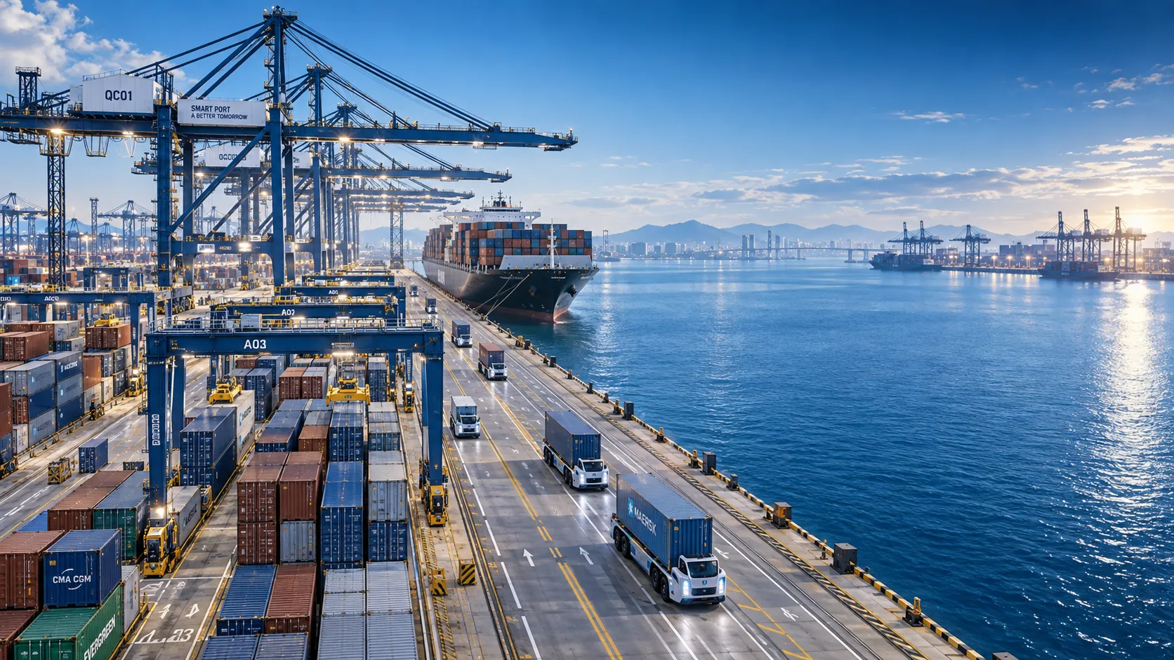
Smart Port Systems Pricing: How to Compare Lifecycle Costs and ROI by Terminal Scale
Smart port systems pricing explained: compare lifecycle costs, integration risks, and ROI by terminal scale to make smarter, resilient investment decisions.