Related News
- 00
0000-00
Marine Engineering Solutions for Dredging in Ports: Key Design Factors - 00
0000-00
What Data Does a Smart Port Control Architecture Need to Operate? - 00
0000-00
CE-Marked Quay Cranes: How to Verify Compliance Documents - 00
0000-00
Port Automation Systems in Latin America: Choosing the Right Solution - 00
0000-00
Scalable Automated Port Systems: Planning for Terminal Capacity Growth
0000-00
Choosing Path Planning Systems for Outdoor Robots in the Middle East
A container transporter approaches a yard intersection just as a terminal tractor emerges from behind a stack. Its satellite positioning confidence has fallen, dust is reducing sensor visibility, and the dispatch system is requesting a new destination. The shortest route is no longer the important question. The important question is whether the robot can recognize its limits, yield predictably, and resume without disrupting the terminal.
Extreme heat, airborne dust, and GNSS multipath near metal infrastructure make this a practical selection problem at Middle Eastern ports and logistics hubs. For evaluators comparing path planning systems Middle East operators can deploy reliably, algorithm names and demonstration videos are not enough. The decision must connect navigation performance with vehicle dynamics, fleet coordination, environmental resilience, and recoverable failure behavior.
Define the operating envelope before comparing planners
A planner cannot be evaluated independently of its operating design domain: the conditions under which the complete robotic system is intended to function. A fenced container-transfer corridor differs fundamentally from a mixed-traffic logistics yard, even when both use the same vehicle platform.
Translate the site survey into explicit constraints:
- Traffic: segregated robot lanes, shared intersections, pedestrians, manually driven trucks, and temporary work zones.
- Geometry: lane widths, turning clearances, container overhangs, loading interfaces, gradients, and restricted reversing areas.
- Environment: ambient temperature range, solar exposure, airborne dust, coastal salt, standing water, and visibility changes.
- Positioning: open-sky areas, crane corridors, metal-sided passages, and locations where GNSS accuracy becomes unreliable.
- Operations: payload configurations, shift patterns, charging locations, maintenance access, and acceptable intervention frequency.
Define normal, degraded, and prohibited operating conditions separately. Reduced visibility might permit lower-speed travel on a segregated lane but require stopping at a shared crossing. These distinctions should become system requirements, not decisions left to commissioning engineers after delivery.
The procurement question then becomes sharper: can the proposed system maintain useful throughput within this envelope, while leaving it in a controlled and detectable way when conditions deteriorate?
Choose an architecture, not an algorithm label
Outdoor robot navigation usually combines several planning layers. The global planner selects a route through the site; the local planner generates feasible motion around nearby obstacles; a fleet coordinator manages shared resources. Localization, perception, motion control, and protective functions support these layers but should not be confused with them.
These approaches are not mutually exclusive. A terminal vehicle might follow a reserved lane route, use kinematic search for a tight docking maneuver, and apply optimization to produce a smooth trajectory. Ask the supplier to explain which layer owns each decision and what happens when layers disagree.
For heavy container-handling vehicles, a geometrically clear path may still be physically unsuitable. Evaluation should include loaded and unloaded braking, steering response, swept area, trailer articulation where applicable, and stability-related operating limits. A planner tuned only on an empty demonstration vehicle is not evidence of production readiness.
Environmental resilience starts outside the planner
Heat can change the timing assumptions
High ambient temperature and direct sunlight can raise enclosure temperatures, trigger compute throttling, and affect sensors or communications equipment. The resulting risk is not merely component shutdown: planning and perception updates may become slower before a fault is declared.
Request thermal test evidence for the proposed enclosure, processor configuration, and workload. The meaningful measure is sustained end-to-end performance after heat soak, not peak processing speed in an air-conditioned room. Confirm how missed deadlines are detected and whether speed limits or controlled stopping respond to reduced processing capacity.
Dust requires measured sensor degradation
LiDAR can produce returns from airborne particles, cameras can lose contrast, and contamination can accumulate on optical surfaces. Radar may provide complementary information, but its angular resolution and target discrimination must suit the task. No sensor choice removes the need for application-specific testing.
Inspect cleaning arrangements, contamination detection, maintenance intervals, and sensor-health reporting. Coastal deployments should also consider corrosion protection and connector durability. Enclosure ratings alone do not establish navigation performance in dusty, salt-laden service.
Metal infrastructure makes localization confidence essential
RTK GNSS may provide useful positioning in open areas, yet cranes, containers, and buildings can cause blockage or multipath. An RTK status indicator should not be treated as proof that the vehicle pose is correct.
Look for a documented localization strategy combining appropriate sources, potentially including inertial sensing, wheel odometry, LiDAR localization, cameras, or surveyed infrastructure. More sensors do not automatically create resilience: shared failure modes and poor calibration can defeat apparent redundancy.
The planner should receive usable uncertainty information and react accordingly. Depending on the validated operating envelope, that may mean larger clearances, reduced speed, avoidance of a narrow passage, or a controlled stop. Ask to see this behavior rather than accepting “sensor fusion” as a sufficient answer.
In a terminal, fleet traffic often determines the result
A robot that navigates well alone can still reduce terminal throughput. Repeatedly selecting a locally convenient route may congest a crane handover point, block a charging entrance, or strand another vehicle in a narrow lane.
At PS-Nexus, the relevant evaluation perspective connects vehicle-level intelligence with port automation and equipment scheduling. Path planning should support the terminal’s flow of work, rather than optimize travel distance while ignoring crane availability, transfer timing, and yard congestion.
Require suppliers to describe intersection control, right-of-way rules, bottleneck reservations, queue management, and deadlock recovery. Reservations should account for vehicle length, load, and maneuver duration—not just the position of a reference point. Mixed traffic deserves particular attention because manually driven vehicles do not obey software reservations.
Connectivity failures reveal whether the architecture is genuinely robust. Specify how vehicles behave when fleet instructions become stale, messages arrive late, or a network connection disappears. Continuing unrestricted travel is not automatically acceptable; stopping every vehicle immediately may also create operational hazards. The response must follow the site risk assessment and available onboard capability.
Integration questions should reach beyond whether an API exists. Establish ownership of map versions, road closures, speed zones, job cancellation, docking permissions, and recovery commands. Include the terminal operating system, fleet manager, vehicle controller, and remote-assistance interface in this responsibility map.
Keep navigation performance separate from safety claims
Successful obstacle avoidance during a demonstration does not establish a validated safety function. The navigation planner and the protective system can interact, but their responsibilities, diagnostic coverage, and assurance requirements need clear boundaries.
Depending on vehicle classification, operating location, and jurisdiction, relevant references may include ISO 3691-4 for driverless industrial trucks and their systems, alongside functional-safety principles such as ISO 13849 or IEC 61508 where applicable. Applicability must be established for the actual installation; citing a standard does not demonstrate that the complete deployment satisfies it.
Ask for the hazard analysis, safety-function allocation, stopping assumptions, and integration responsibilities. Protective fields and speed limits should reflect payload-dependent stopping behavior, sensing coverage, surface conditions, and response delays. Remote intervention must also have defined authorization, visibility, communications, and safe-state procedures.
A useful selection rule: eliminate candidates with unresolved safety or degraded-mode gaps before ranking them on throughput. A high productivity score should never compensate for an undefined response to lost localization.
Build the acceptance trial around failures, not just successful trips
A credible trial combines simulation, controlled-site testing, and representative operational runs. Simulation helps explore many traffic combinations, but cannot by itself establish sensor behavior in dust, heat, or reflective metal surroundings. Physical tests should use a controlled safety plan rather than introduce hazards into live traffic.
Use the same routes, payloads, map conditions, and traffic scenarios for competing systems. Include enough repeated operation to expose intermittent problems, and record environmental conditions so results remain interpretable.
- Thermal endurance: operate through sustained hot conditions while recording compute temperatures, latency, and any performance derating.
- Localization degradation: test representative GNSS-challenged areas and verify detection, speed adaptation, stopping, and recovery.
- Obstructed routes: introduce approved temporary closures and assess whether rerouting creates congestion elsewhere.
- Dynamic encounters: use controlled crossing and occlusion scenarios, including traffic emerging from behind container stacks.
- Communications faults: introduce latency, packet loss, and disconnection under controlled conditions.
- Restart and recovery: test power cycling, stale reservations, interrupted missions, and safe return to service.
Measure mission completion rate alongside human interventions per operating hour, intersection waiting time, route deviation, docking accuracy, and recovery duration. Separate protective stops from nuisance stops and explain their causes. An apparent improvement achieved by disabling conservative behavior is not a genuine performance gain.
Record planning and perception latency distributions, including missed deadlines, rather than averages alone. Measure energy per completed transport task under comparable payload and route conditions. Shorter distance does not necessarily mean lower energy use if the route causes repeated acceleration, queuing, or inefficient maneuvers.
Agree acceptance thresholds before testing. Each threshold needs a measurement method, operating conditions, pass/fail rule, and treatment of incomplete runs. Otherwise, a difficult trial can become a negotiation over which results count.
Make the final decision on sustained operating value
Once mandatory requirements pass, a weighted scorecard can compare operational performance, integration effort, maintainability, environmental resilience, and lifecycle cost. Set the weights before reviewing commercial offers, and retain the underlying evidence rather than reducing the decision to one headline score.
Lifecycle cost includes sensor cleaning, calibration, map maintenance, software support, replacement hardware, operator training, and integration changes. Ask whether site staff can diagnose localization problems or whether every interruption requires supplier access. Clarify software update support, rollback procedures, cybersecurity responsibilities, and access to diagnostic logs.
For Middle Eastern ports and logistics hubs, the strongest choice is rarely the system with the most impressive algorithm description. It is the architecture that fits the site, respects heavy-vehicle constraints, exposes uncertainty, and recovers predictably when conditions change. Select on that evidence, and path planning becomes a dependable part of terminal operations rather than another source of avoidable stoppages.
Related News
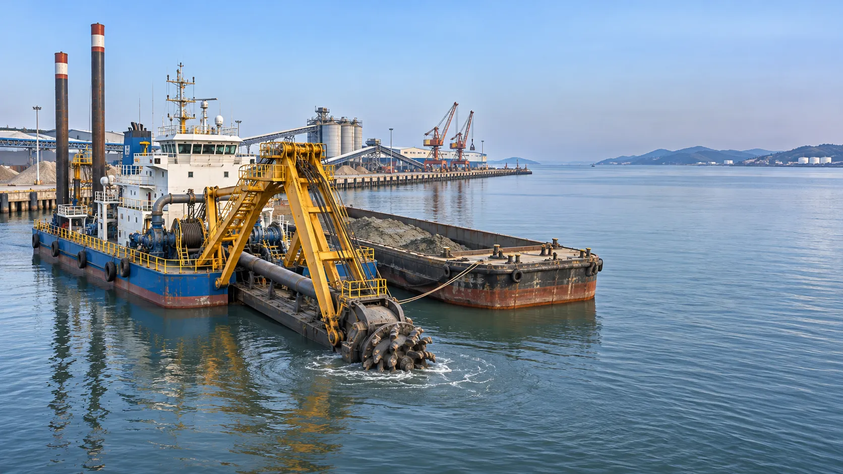
Marine Engineering Solutions for Dredging in Ports: Key Design Factors
Explore marine engineering solutions for dredging ports, from equipment selection and sediment management to safe navigation and survey verification.
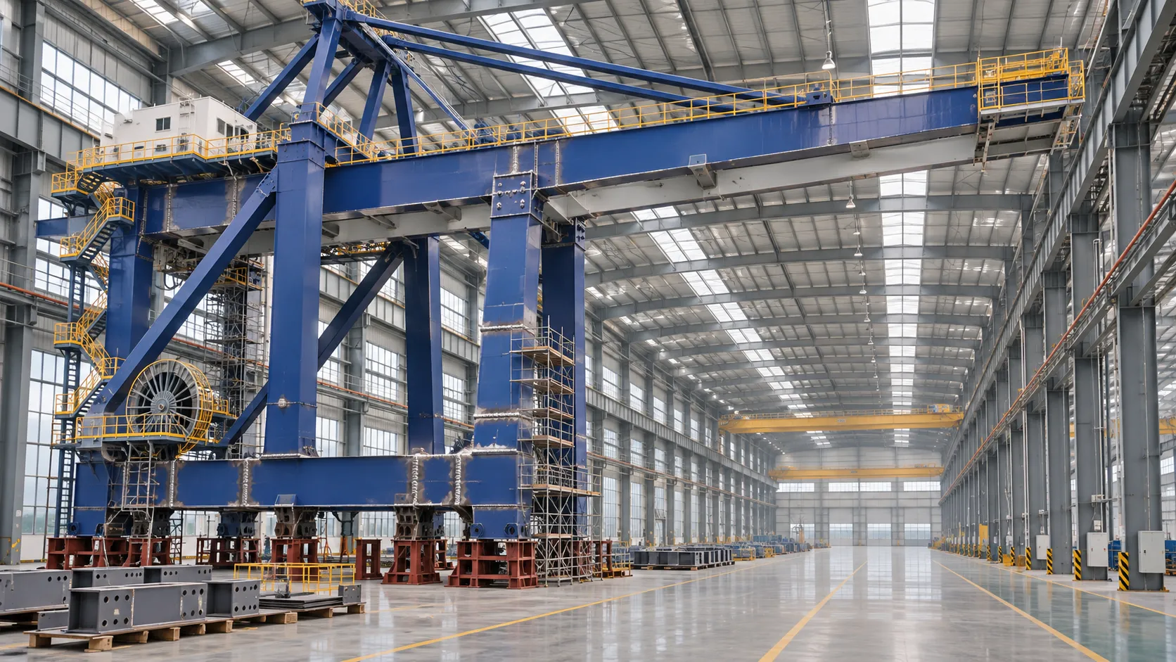
How to Evaluate a Quay Crane Factory: Capacity, Quality and Delivery
Evaluate a quay crane factory with confidence. Learn how to verify production capacity, quality controls, delivery plans, and lifecycle costs before you commit.
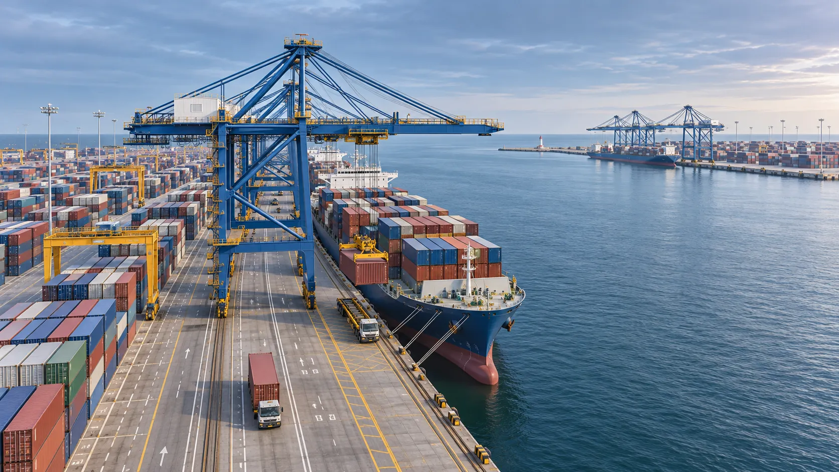
What Data Does a Smart Port Control Architecture Need to Operate?
What data is needed for a smart port control architecture? Discover the essential operational feeds, integration requirements and safety checks.
CE-Marked Quay Cranes: How to Verify Compliance Documents
Quay crane CE certified? Learn how to verify declarations, risk assessments and test records for the complete machine before acceptance.
Port Automation Systems in Latin America: Choosing the Right Solution
Explore port automation systems Latin America terminals can use to reduce congestion, assess integration risks, and choose the right solution with confidence.
Scalable Automated Port Systems: Planning for Terminal Capacity Growth
Discover how scalable automated port systems support phased terminal growth, reduce bottlenecks and guide smarter capacity investments.
Europe's Coastal Economies: Key Industries, Jobs and Climate Risks
Explore coastal economics in Europe: discover key industries and jobs, the climate risks they face, and how coastal communities can adapt.
Bulk Cargo Handling Equipment for Ports: Choosing by Cargo and Capacity
Choose bulk cargo handling equipment for ports with confidence. Compare cargo types, realistic throughput, equipment options, and lifecycle costs.
What Affects Container Terminal Efficiency in Southeast Asia?
Discover what affects terminal efficiency in Southeast Asia, from berth planning and yard congestion to inland access, and learn how to assess performance.